TSX:CGD.V
Last:
Volume:
Change:
Date:
Time:
15-20 min delay
Home
Corporate
Corporate Overview
Board of DIrectors & Officers
Code of Conduct
Projects
Nevada
Why Nevada?
Cortez Summit Property
Willow Property
Investors
Financial Reports
Downloadable Files
News
Contact
Nevada
Why Nevada?
Cortez Summit Property
Willow Property
Home
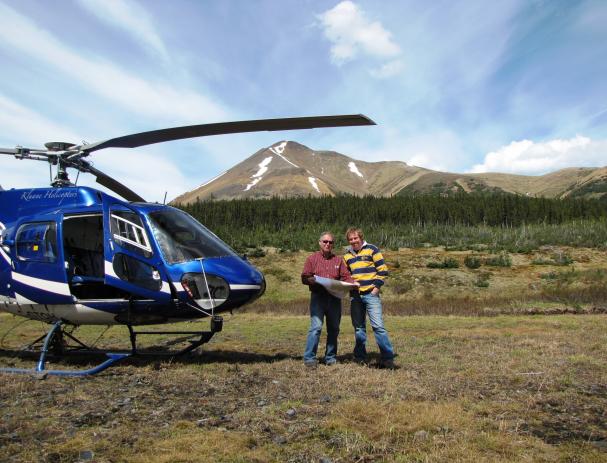
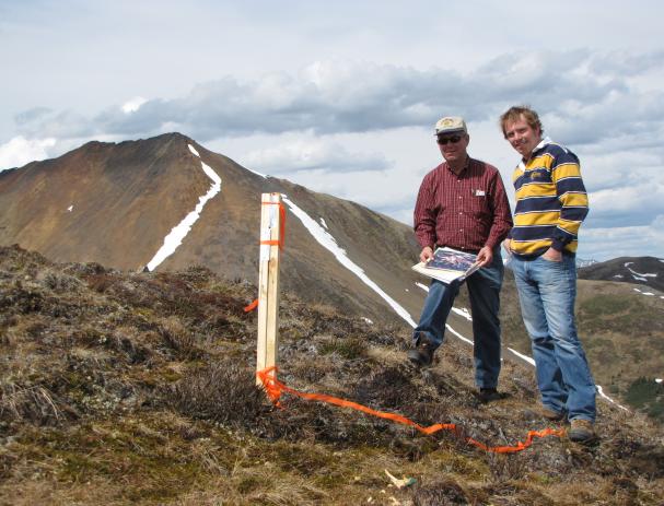
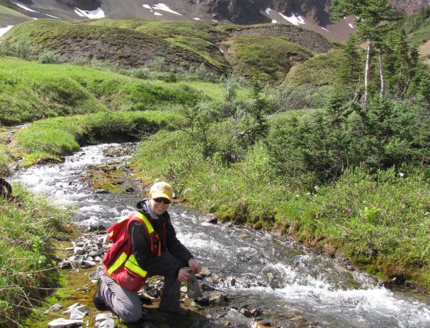
TUT Block
TUT Block, Yukon
Coming Soon
Media Gallery
Photos